Member Center
Eng
  • 繁中
  • Eng
 Cart 0  Inquiry 0
  • About
  • Calibration
  • News
    • News
  • Products
    • Product catalog
      • UAV / USV
      • RTK Assist
      • NovAtel GNSS receivers
      • GNSS receivers
      • Field Computer
      • Positioning Layout Tool
      • Total station
      • Industrial Monitoring and Measurement
      • Laser Levels
      • Digital Theodolite
      • Digital Levels
      • Digital Planimeter/ Digital Area-Line Sensor
      • Laser Scanner
      • Underwater/ Marine
      • Rangefinder
      • Speed radar
      • Stereoscope
      • Software
      • Accessories
    • Application
      • Traditional Land Survey
      • Construction Survey
      • Industrial Survey
      • Aerial Filming Survey
      • Uunderwater Acoustic Measurment
      • Precision Farming
      • GNSS Survey
    • Brands
      • SOKKIA
      • Topcon
      • NovAtel
      • Civil-NET TURBO【全星系RTK】服務系統
      • Civil-NET 簡介
      • CENTURY
      • TERRASTAR
      • MYZOX
      • Seco
      • Seafloor
      • Teledyne
      • BlueView
      • Schreiber
      • Hexagon
      • APPLIED IMAGERY
      • Agisoft
      • YAMAYO
      • KDS
      • MPH
      • Ushikata
      • TOP MEASUE
      • Apresys
      • BOSCH
      • 2LS
  • Service
    • underwater acoustic measurement
    • land survey
    • mobile mapping system
    • inertial measurement
    • UAV lidar laser scanning
    • 3D reality capture
    • UAV aerial filming
    • aerial survey
  • Contact Us
    • 業務洽詢
    • 經銷據點
    • 購物須知
FOLLOW US
  • Facebook
  • Line
  • YOUTUBE
Eng
  • 繁中
  • Eng
Member Center
  • 0
  • 0
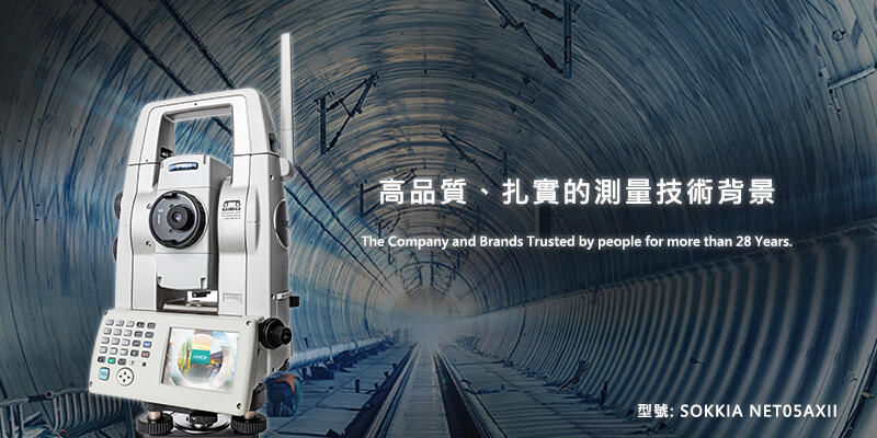
  • SOKKIA NET05AXII Total Station
  • Home
  • Products
  • Product catalog
  • Accessories
  • Topcon CDC77
Products
  • Product catalog
    • UAV / USV
    • RTK Assist
    • NovAtel GNSS receivers
    • GNSS receivers
    • Field Computer
    • Positioning Layout Tool
    • Total station
    • Industrial Monitoring and Measurement
    • Laser Levels
    • Digital Theodolite
    • Digital Levels
    • Digital Planimeter/ Digital Area-Line Sensor
    • Laser Scanner
    • Underwater/ Marine
    • Rangefinder
    • Speed radar
    • Stereoscope
    • Software
    • Accessories
  • Application
    • Traditional Land Survey
    • Construction Survey
    • Industrial Survey
    • Aerial Filming Survey
    • Uunderwater Acoustic Measurment
    • Precision Farming
    • GNSS Survey
  • Brands
    • SOKKIA
    • Topcon
    • NovAtel
    • Civil-NET TURBO【全星系RTK】服務系統
    • Civil-NET 簡介
    • CENTURY
    • TERRASTAR
    • MYZOX
    • Seco
    • Seafloor
    • Teledyne
    • BlueView
    • Schreiber
    • Hexagon
    • APPLIED IMAGERY
    • Agisoft
    • YAMAYO
    • KDS
    • MPH
    • Ushikata
    • TOP MEASUE
    • Apresys
    • BOSCH
    • 2LS
Topcon CDC77
Topcon CDC77

Topcon CDC77

. Founded in 1932, TOPCON independently develops and manufactures various high-precision topographic measuring instruments, including satellite locators, total stations, 3D laser scanners, etc. TOPCON has been favored by users from all walks of life for many years and maintains its highest level.
. Made in Japan

  • Features


TOP
  • TAF Certificated Calibration Laboratory
  • Website Map
  • Purchase Terms and Policy
  • Customer Privacy
  • TAF Certificated Calibration / Maintenance service
  • 04-23011000 Ext.51
  • support@sokkia.com.tw
  • Customer Support /technical consulting
  • 04-23011000 Ext.11
  • sales@sokkia.com.tw
  • Business/Product Consulting
  • 04-23011000 Ext.12
  • sales@sokkia.com.tw
LINE @online service ID: @civil-net
  • Facebook
  • Line
  • YOUTUBE
Useful Links

© 2022 CENTURY INSTRUMENT CO., LTD. All rights reserved.